
Next race
Sunday, 7 March 2027
9:15 am start
Distance
42.195 km / 26.2 mi
Lakeside scenic road
Elevation
Flat · 50 m gain
50 m climbing
Race profile
Overview
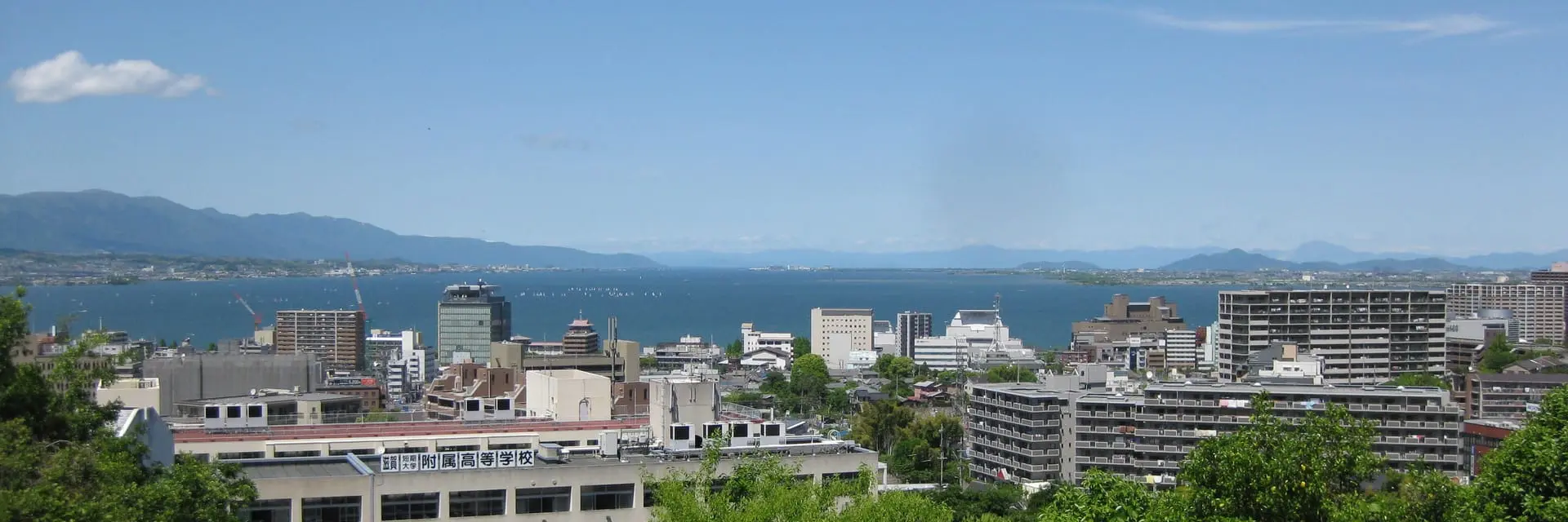
The Biwako Marathon is one of Japan's oldest and most prestigious marathons, drawing approximately 5,367 finishers each March around Lake Biwa in Shiga Prefecture. The course follows Japan's largest lake with views of the Hira mountains and the Otsu waterfront. March's cool Kansai spring and flat lakeside paths make it a favourite tune-up before the Tokyo Marathon.
Biwako Marathon is a certified 42.195 km (26.2 mile) marathon — the standard World Athletics marathon distance.
- Typical participants
Approximately 5,367 finishers
- Weather
Course & terrain
Biwako Marathon course
Route map and elevation profile for race-week planning.
The Biwako Marathon is a lakeside scenic road that starts and finishes in Otsu near Lake Biwa. The loop follows the Biwako lakeside road past the Otsu port, Ishiyama-dera temple area, and the Hama-Ōtsu waterfront. The flat profile keeps rhythm steady throughout, with only minor bridge ramps or short rises interrupting otherwise even pacing. Spectators gather along the waterfront, at the start-finish festival, and at organised cheer stations on the most scenic coastal stretches.
Biwako Marathon route map
The Biwako Marathon course is flat over 42.195 km (26.2 miles). Runners cover 50 metres of climbing and 50 metres of descent, with minimal net elevation change from start to finish.
- Elevation
Registration
Biwako Marathon entry requirements
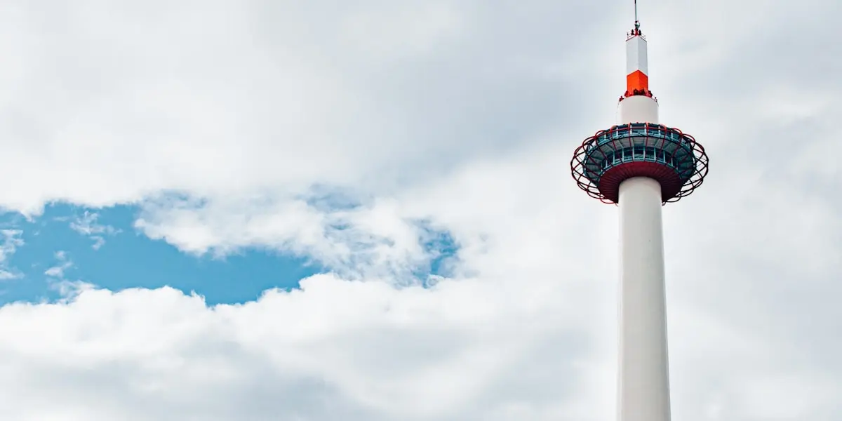
For the Biwako Marathon, otsu is just 10 minutes from Kyoto Station by JR train. Many runners stay in Kyoto and travel to Otsu on race morning.
Getting there
Biwako Marathon travel
Airports closest to Otsu for flight planning and race-week travel.
- Closest airport
Osaka (ITM)
Osaka Itami International Airport
46 km / 28 mi
- Also nearby
Kobe (UKB)
Kobe Airport
71 km / 44 mi
Common questions
Frequently Asked Questions
- What is the Biwako Marathon elevation profile?
- The Biwako Marathon has 50 metres of total climbing and 50 metres of descent over 42.195 km (26.2 miles). The course is flat, with 0 metres of net change from start to finish.
- Where can I find the Biwako Marathon route map?
- This page includes a Biwako Marathon course map showing the full 42.195 km route from start to finish. Follows the Biwako lakeside road past the Otsu port, Ishiyama-dera temple area, and the Hama-Ōtsu waterfront.
- How long is the Biwako Marathon?
- The Biwako Marathon is the standard marathon distance of 42.195 kilometres (26.2 miles), certified to World Athletics rules. Lakeside scenic road starting and finishing in Otsu near Lake Biwa.
- What time does the Biwako Marathon start?
- The 2027 Biwako Marathon starts at 9:15 am local time on Sunday, 7 March 2027. Arrive early for baggage drop and corral access — official race communications confirm any last-minute schedule changes.
- What is Lake Biwa?
- Lake Biwa is Japan's largest freshwater lake, occupying most of Shiga Prefecture east of Kyoto. The marathon follows its shores through Otsu, the prefectural capital.
- When is the Biwako Marathon?
- The Biwako Marathon is held on the first Sunday of March. and is competitive due to the race's long history.
- Is the Biwako Marathon flat?
- Yes. The lakeside course is one of Japan's flatter established marathons, popular with runners targeting fast times before Tokyo.
- How do I get to the Biwako Marathon from Kyoto?
- Otsu is just 10 minutes from Kyoto Station by JR train. Many runners stay in Kyoto and travel to Otsu on race morning.
- What weather should I expect at the Biwako Marathon in March?
- Early March around Lake Biwa is cool, often 4–10 °C (39–50 °F). Lake breezes can make it feel colder — dress warmly for the start.
Official resources
Biwako Marathon links
Websites
Social Media
Last updated 11 October 2026. Edition dates and course details are reviewed regularly.
Close to this race
Nearby Marathons
Other races closest to Otsu.

FukuchiyamaKyotoJapan· 76 km away
Fukuchiyama Marathon
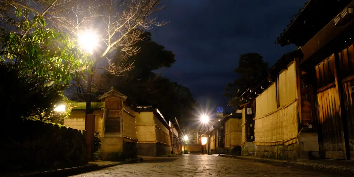
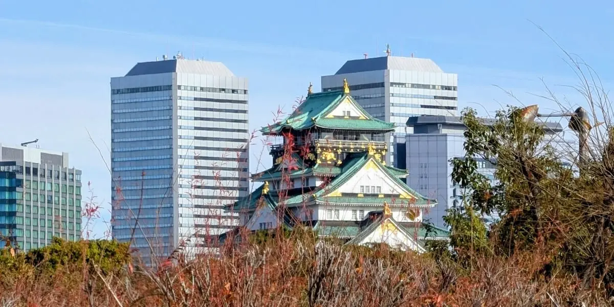
The Fukuchiyama Marathon draws approximately 4,000 finishers each November on a river city road in Fukuchiyama, Japan. The marathon has one of the deeper traditions among Japan's regional citizen races. The route passes castle-town streets, the Yura River corridor, and broad roads through northern Kyoto Prefecture. Gentle undulations are the only breaks on an otherwise flat profile.
Next race: Sunday, 22 November 2026

Planning guides
Related guides
Practical guides to help you plan, train for, and run this race.

Flat vs Hilly Marathons
When a flat course helps your time, when hills are worth the view, and how to pick terrain that fits your training and goals.

Marathon Weather: What to Expect
How temperature, humidity, wind, and rain affect marathon performance — and how to use typical race-day weather when choosing a start line.

How to Choose a Marathon
Match a race to your goals — personal bests, sightseeing, atmosphere, or a major milestone — using course data and realistic expectations.