
Next race
Sunday, 15 November 2026
9:00 am start
Distance
42.195 km / 26.2 mi
Urban road
Elevation
Flat · 50 m gain
50 m climbing
Race profile
Overview
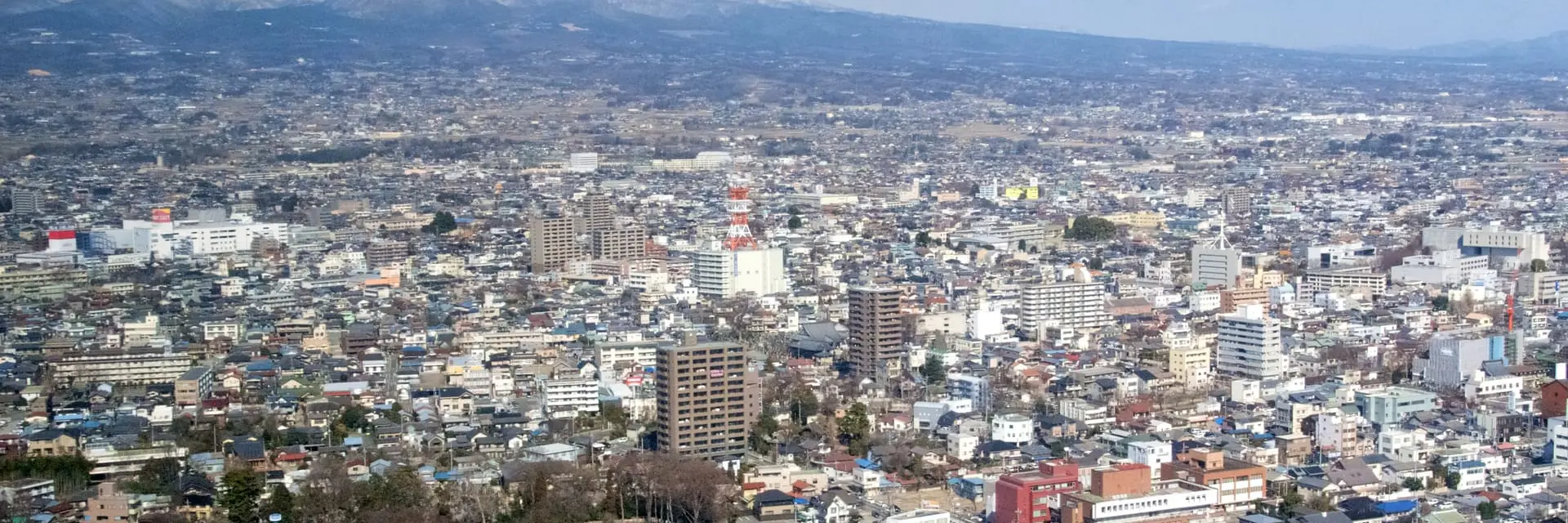
The Gunma Marathon attracts approximately 3,500 finishers each November through Maebashi, the capital of Gunma Prefecture northwest of Tokyo. The course passes the Tone River, Mount Akagi foothills, and the Maebashi city centre on wide Kanto plain roads. November's crisp autumn and flat terrain make it a popular late-season race in the Tokyo metropolitan area.
Gunma Marathon is a certified 42.195 km (26.2 mile) marathon — the standard World Athletics marathon distance.
- Typical participants
Approximately 3,500 finishers
- Weather
Course & terrain
Gunma Marathon course
Route map and elevation profile for race-week planning.
The Gunma Marathon is an urban road that starts and finishes at the Gunma Prefectural Office or Maebashi city centre. The loop follows the Tone River embankment and passes the Akagi-minami district on wide prefectural roads. The flat profile keeps rhythm steady throughout, with only minor bridge ramps or short rises interrupting otherwise even pacing. Spectators gather at the start-finish festival and at organised cheer zones through the city centre and along the main boulevards.
Gunma Marathon route map
The Gunma Marathon course is flat over 42.195 km (26.2 miles). Runners cover 50 metres of climbing and 50 metres of descent, with minimal net elevation change from start to finish.
- Elevation
Registration
Gunma Marathon entry requirements
The Gunma Marathon uses a lottery when applications exceed the field cap of roughly 3,500 runners, with entry accepted through gunmamarathon.jp and RUNNET during a window that typically opens in May or June for the November race. Results are announced a few weeks after the application period closes. International runners can apply through Run Japan when general lottery entry is oversubscribed.
Getting there
Gunma Marathon travel
Airports closest to Maebashi for flight planning and race-week travel.
- Best for most flights
Tokyo (HND)
Tokyo Haneda International Airport
114 km / 71 mi
- Closest airport
Matsumoto (MMJ)
Shinshu-Matsumoto Airport
107 km / 67 mi
- Also nearby
Omitama (IBR)
Ibaraki Airport
122 km / 76 mi
- Also nearby
Narita (NRT)
Narita International Airport
137 km / 85 mi
Common questions
Frequently Asked Questions
- What is the Gunma Marathon elevation profile?
- The Gunma Marathon has 50 metres of total climbing and 50 metres of descent over 42.195 km (26.2 miles). The course is flat, with 0 metres of net change from start to finish.
- Where can I find the Gunma Marathon route map?
- This page includes a Gunma Marathon course map showing the full 42.195 km route from start to finish. Follows the Tone River embankment and passes the Akagi-minami district on wide prefectural roads.
- How long is the Gunma Marathon?
- The Gunma Marathon is the standard marathon distance of 42.195 kilometres (26.2 miles), certified to World Athletics rules. Starts and finishes at the Gunma Prefectural Office or Maebashi city centre.
- What time does the Gunma Marathon start?
- The 2026 Gunma Marathon starts at 9:00 am local time on Sunday, 15 November 2026. Arrive early for baggage drop and corral access — official race communications confirm any last-minute schedule changes.
- Where does the Gunma Marathon start?
- The race starts and finishes in Maebashi, Gunma's capital, near the prefectural government buildings. Course maps are published before race weekend.
- When is the Gunma Marathon?
- The Gunma Marathon is held in November, typically on the third Sunday.
- Is the Gunma Marathon flat?
- Yes. Maebashi sits on the flat Kanto plain along the Tone River, and the marathon course has minimal climbing.
- How do I get to the Gunma Marathon from Tokyo?
- Maebashi is about 70 minutes from Ueno Station on the JR Ryomo Line or Joetsu Shinkansen. Many runners day-trip from Tokyo.
- What weather should I expect in Maebashi in November?
- November in Maebashi is crisp autumn weather, often 8–16 °C (46–61 °F). Mount Akagi to the north may have early snow on its peak.
Official resources
Gunma Marathon links
Websites
Last updated 11 October 2026. Edition dates and course details are reviewed regularly.
Close to this race
Nearby Marathons
Other races closest to Maebashi.


Planning guides
Related guides
Practical guides to help you plan, train for, and run this race.

Flat vs Hilly Marathons
When a flat course helps your time, when hills are worth the view, and how to pick terrain that fits your training and goals.

Marathon Entry: Lotteries, Ballots & Open Registration
How major marathons allocate places — open entry, lotteries, charity bibs, tour operators, and what to check before you commit to a trip.

Marathon Weather: What to Expect
How temperature, humidity, wind, and rain affect marathon performance — and how to use typical race-day weather when choosing a start line.